This article first appeared in the Outdoors newsletter. Click here to learn more about the newsletter and sign up.
In St. Louis, easy trails are easy to find. We live in flat-ish river valleys, and the so-called Ozark mountains are, in reality, a misnomer. The highest point in Missouri is Taum Sauk, at an elevation of 1,772 feet above sea level. Not a mountain.
Discover your next outdoor adventure
Subscribe to the St. Louis Outdoors newsletter to get smarter about hiking, biking, paddling, climbing, and camping within the St. Louis region and beyond.
But if you’re like me and you do out-of-state backpacking trips (or you like to squeeze a moderate-to-difficult day hike into a supposedly relaxing vacation), you’ll need to find challenging trails where you can train. Our region doesn’t have many such trails, but some are serviceable. Below are my favorites. I take poles and a weighted pack but you might want to skip the latter if it’s your first outing in a while (or ever).* Please share your favorites so that I can update the website version of this story as needed.
Also, keep in mind: The following suggestions are places for getting in shape. That endeavor will entail some monotony. But the whole point is that when you do arrive at your jaw-dropping destination, you won’t have to worry about your ability to finish the hike. And meanwhile, a good pair of earbuds and some music, podcasts, or audiobooks will pass the time—unless you’d prefer to listen to the birds or your own breathing. You do you.
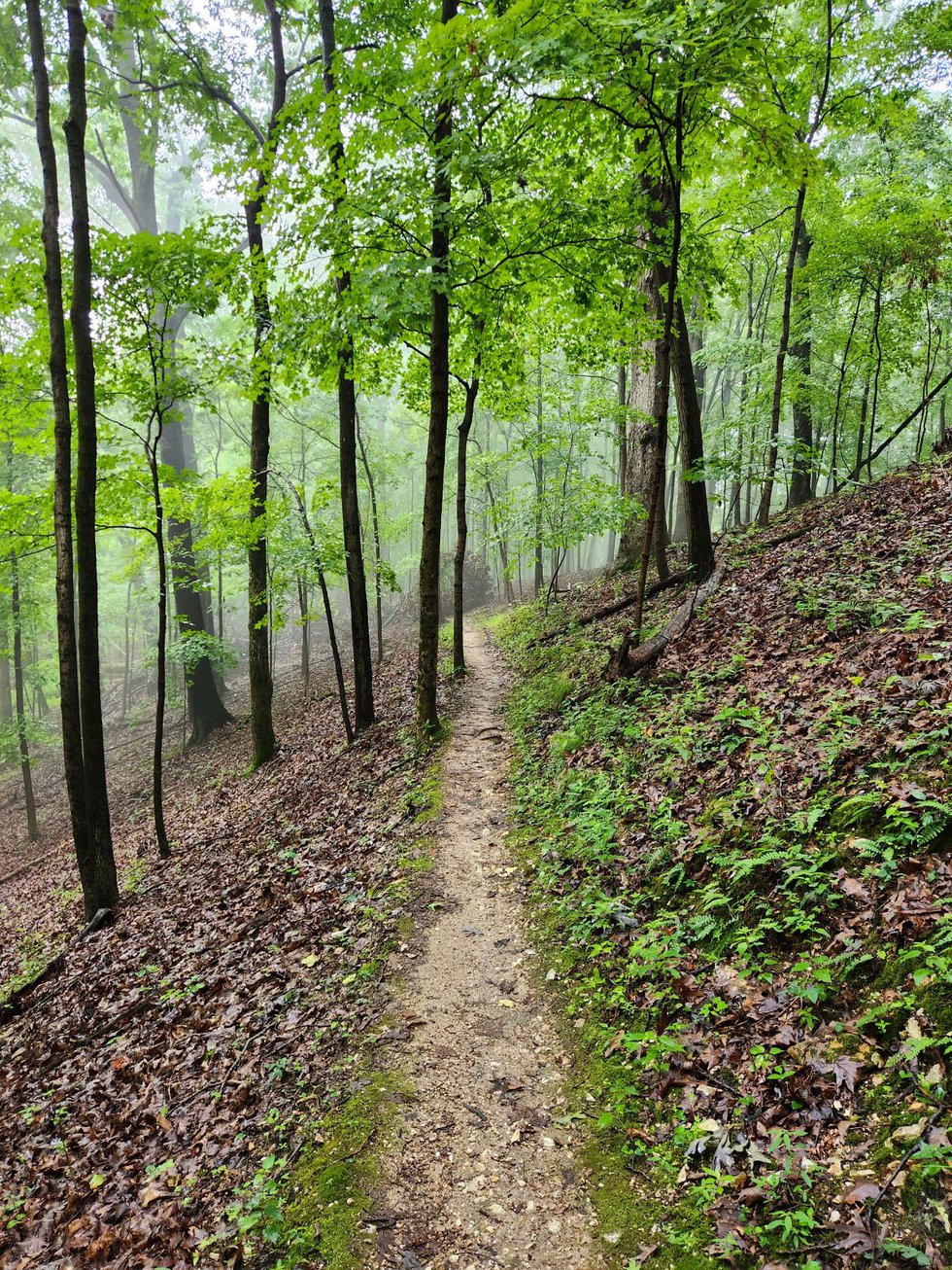
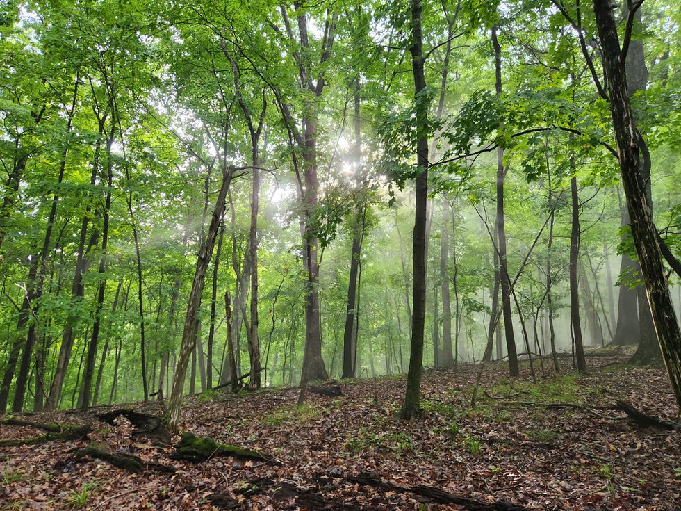
Best hill overall: The Chubb Trail, West Tyson County Park
Why I like it: This is the longest forested-trail climb I’m aware of in the St. Louis area. If you start from the Allen Road trailhead and pick your way up the south slope, you’ll gain about 400 feet in elevation within a mile. It’s common here to see other people training for hikes, trail runs, and endurance races by grinding up and down, over and over, yet this trail does not usually feel crowded. In the summer, the canopy is a thick green, and in the winter, you can catch some views into the Meramec Valley.
Pro tip: There always seems to be ample parking (and a portable toilet) at the Allen Road trailhead. Also, if you choose to wear earbuds, make sure to keep the volume low enough to be able to hear the mountain bikers who also use the trail, sometimes at high speeds.

Best early-morning hill: The Grand Staircase at Gateway Arch National Park
Why I like it: You can’t get a more epic setting than the Arch grounds just before and during sunrise. The park opens at 5 a.m. year-round, and at that hour, you’ll likely have the Grand Staircase to yourself, except for the occasional National Park Service ranger. The 65 steps on the staircase may not look like much at first, but see how fresh you feel after an hour or so of climbing up and down.
Pro tip: You don’t need to pay for street parking until 8 a.m. Monday through Saturday. I usually park on Pine between N. 4th and N. Broadway. Also, a breeze often comes off the river, so colder seasons, consider bringing one layer more than you’d expect to need.
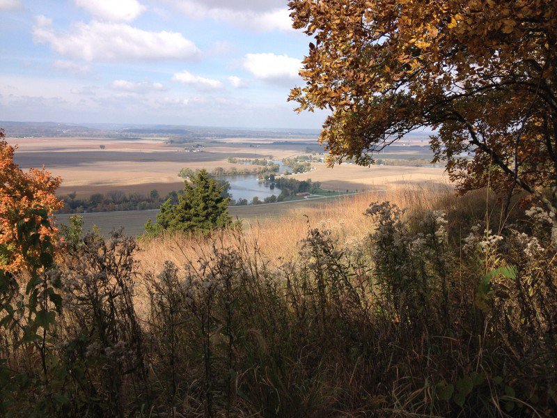
Best hill in Metro East: Salt Lick Trail – Valmeyer, Illinois
Why I like it: There are actually several trails at this former mining site, but the one that conduces most to a backpacking workout is the Salt Lick Trail. From the gravel-lot trailhead, it’s a two-mile loop with an elevation gain of roughly 368 feet, according to The Hiking Project’s readings. That’s about half as intense as Chubb Trail. The first half has a fairly steep section.
Pro tip: Whenever you’re at the top and need a breather, there’s a prairie on the west side of the trail; that affords a nice if sometimes weed-obstructed view down into the valley. (The best view, however, is over on the adjoining Newman Trail.)
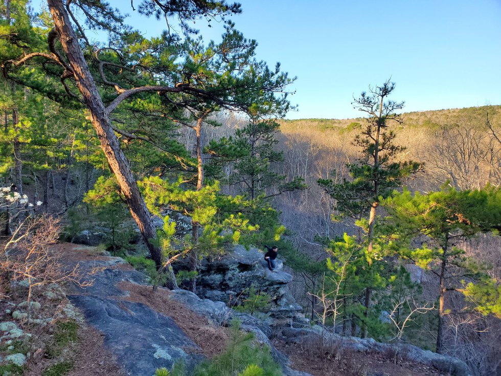
Best hilly loop: Whispering Pines Trail – north loop, Hawn State Park
Why I like it: The Whispering Pines Trail has two loops that together form a crude figure eight, but most of the elevation change happens on the north loop. Per The Hiking Project, the north loop affords you about 646 feet of climbing in six miles. Again, that’s not nearly as much as the Chubb Trail, but at least it’s more scenic and less monotonous.
Pro tip: There are two creek crossings on the west side of the loop. The rocks that many folks use to cross can be wobbly, so if you really want to avoid wet footwear, consider shedding your shoes or boots and just wading across where you can.
What am I missing? Let me know by emailing me here.
*Disclaimer #1: While these hills will help you build strength and endurance no matter where you’re headed, there’s an extra layer of preparation you should consider when planning to hike at or above 8,000 feet—the elevation range where altitude sickness becomes a risk. For more on that, see here.
*Disclaimer #2: Obviously, don’t take on more weight or mileage than you can handle. For entry-level advice on how to train for serious hikes, I suggest starting here, here, and here.