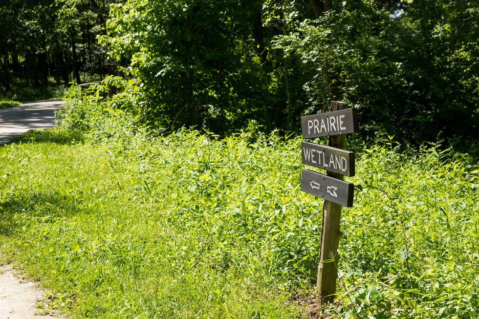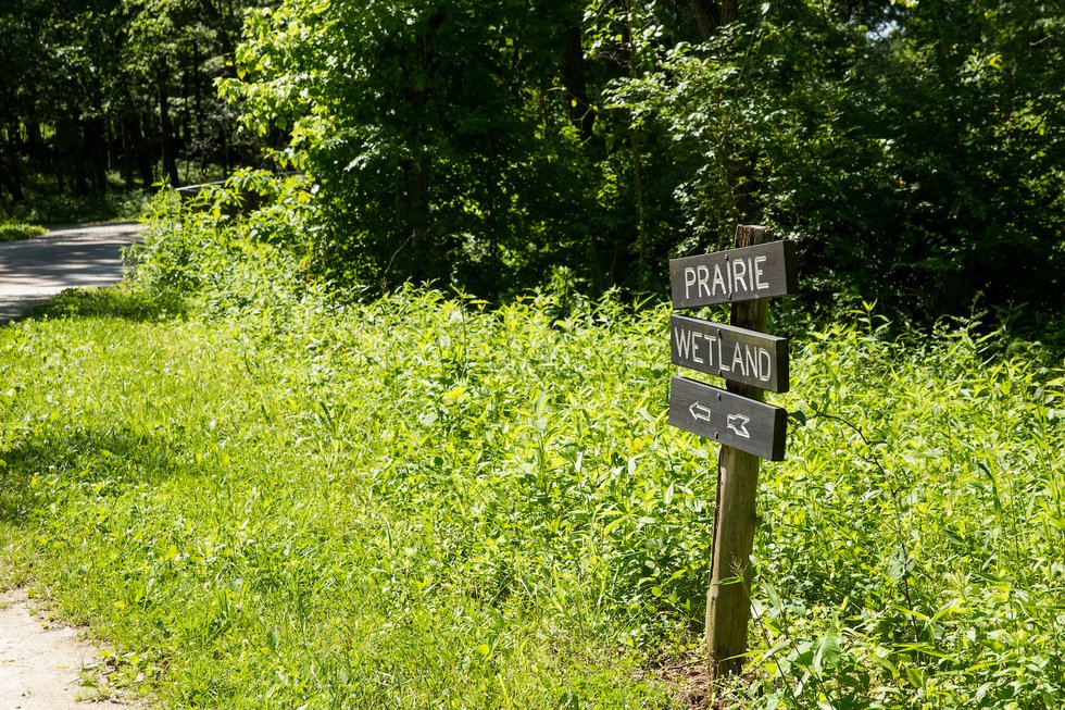
Though sticking to the treadmill may be tempting on hot summer days, these trail recommendations from local experts boast dynamic features to refresh your cardio routine.
Molly Olten, public information coordinator for St. Louis County Parks, recommends:
Discover your next outdoor adventure
Subscribe to the St. Louis Outdoors newsletter to get smarter about hiking, biking, paddling, climbing, and camping within the St. Louis region and beyond.
Hawk Ridge Trail
4.4 miles, moderate
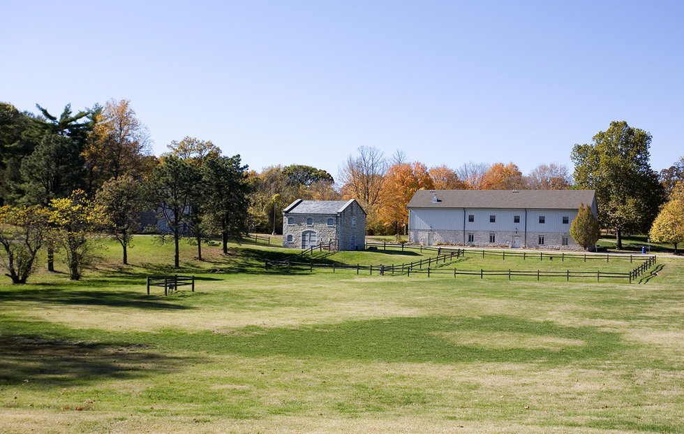
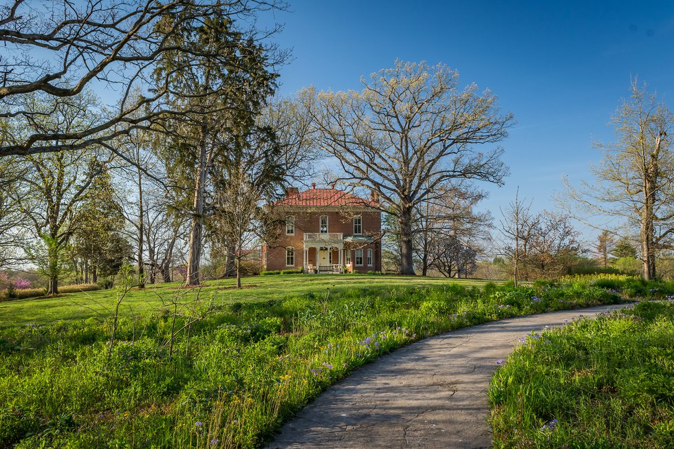
This path, which is asphalt in some parts and gravel in others, runs around Queeny’s perimeter. Accessible by both the Weidman Road and Mason Road sides of the park, this trail provides a scenic tour of the woods, which are dense with oaks, hickories, dogwoods, and redbuds. After passing by the North Twin Pond, the animal pasture, and the wildflower display, push through a final climb to finish at the Jarville House.
Jefferson Barracks County Park:
Dennis Schick Trail
2.7 miles, easy
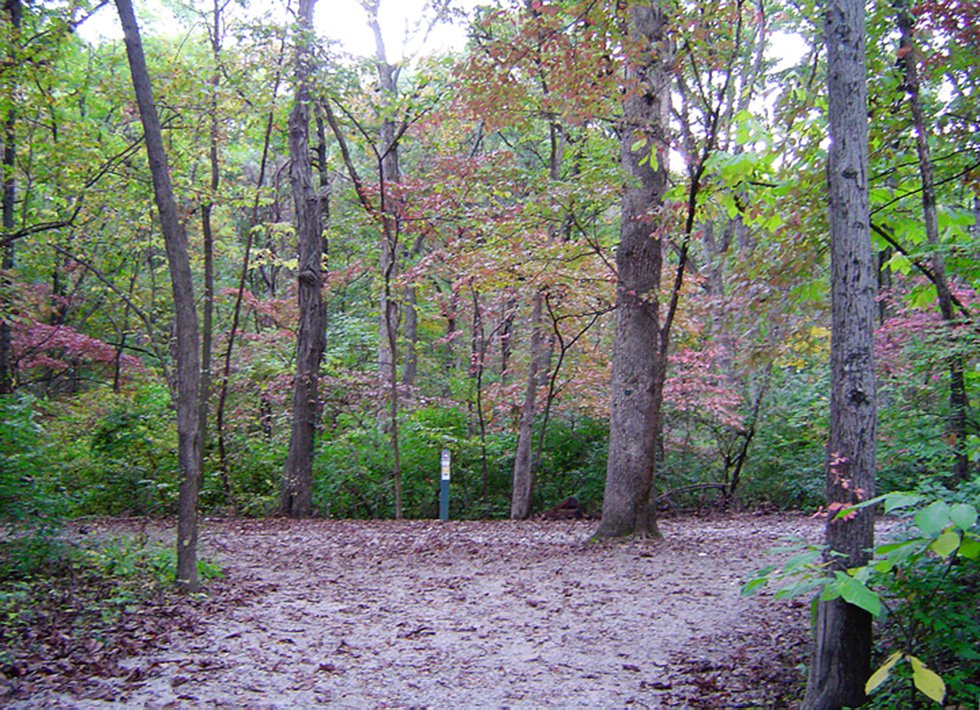
Begin at the trailhead at Cy or Hancock road, where parking, drinking water, and restrooms are available. This path varies between woods and open air, running alongside one of the largest native woodland areas in the park. Look out for deer, coyote, fox, and wild turkeys out in the fields, or for red-tailed hawks and rabbits hiding in the woods.
Mississippi Greenway
1.4 miles, easy
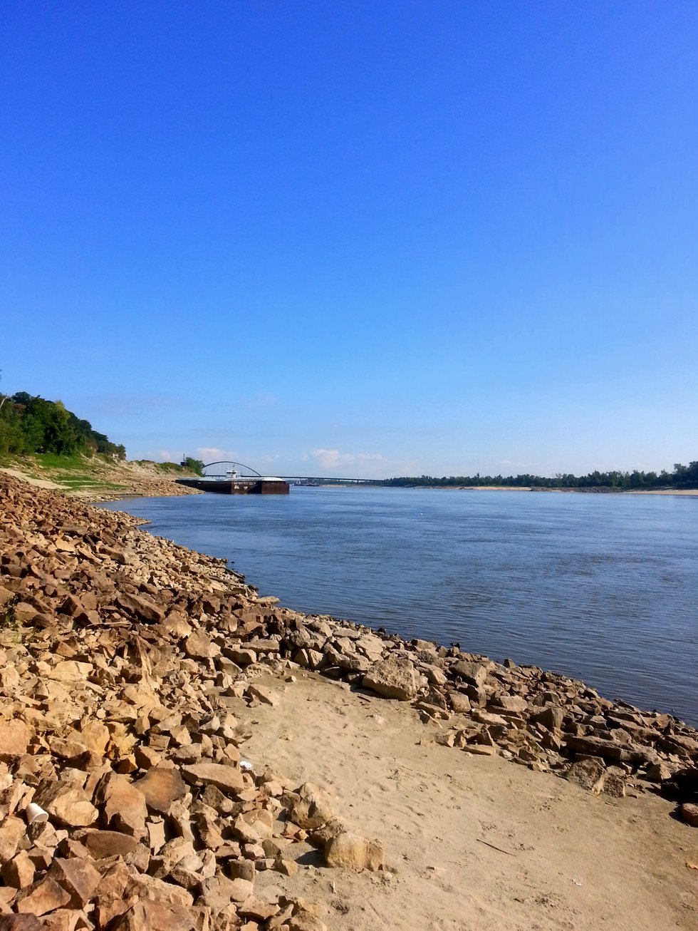
Look down on the Mississippi river as you run across the rocky bluffs. This sunny path traverses the woodlands and wetlands that host one of the most naturally diverse communities of flora and fauna in the region. During the summer months, spot great blue herons and egrets near the water, and watch for migratory birds during the fall.
Dan Zarlenga, metro media specialist at Missouri Department of Conservation, recommends:
Columbia Bottom Conservation Area:
Confluence Hiking/Biking Trail
4.5–9 miles, easy
Begin at the visitor center and run this mostly flat, paved path to the confluence viewing platform. Going one-way is 4.5 miles, and a round trip doubles the distance. Additionally, you can start at one of several points from different parking lots to further vary the length.

Weldon Spring Conservation Area:
Lewis & Clark Trail
5.3–8.3 miles, challenging
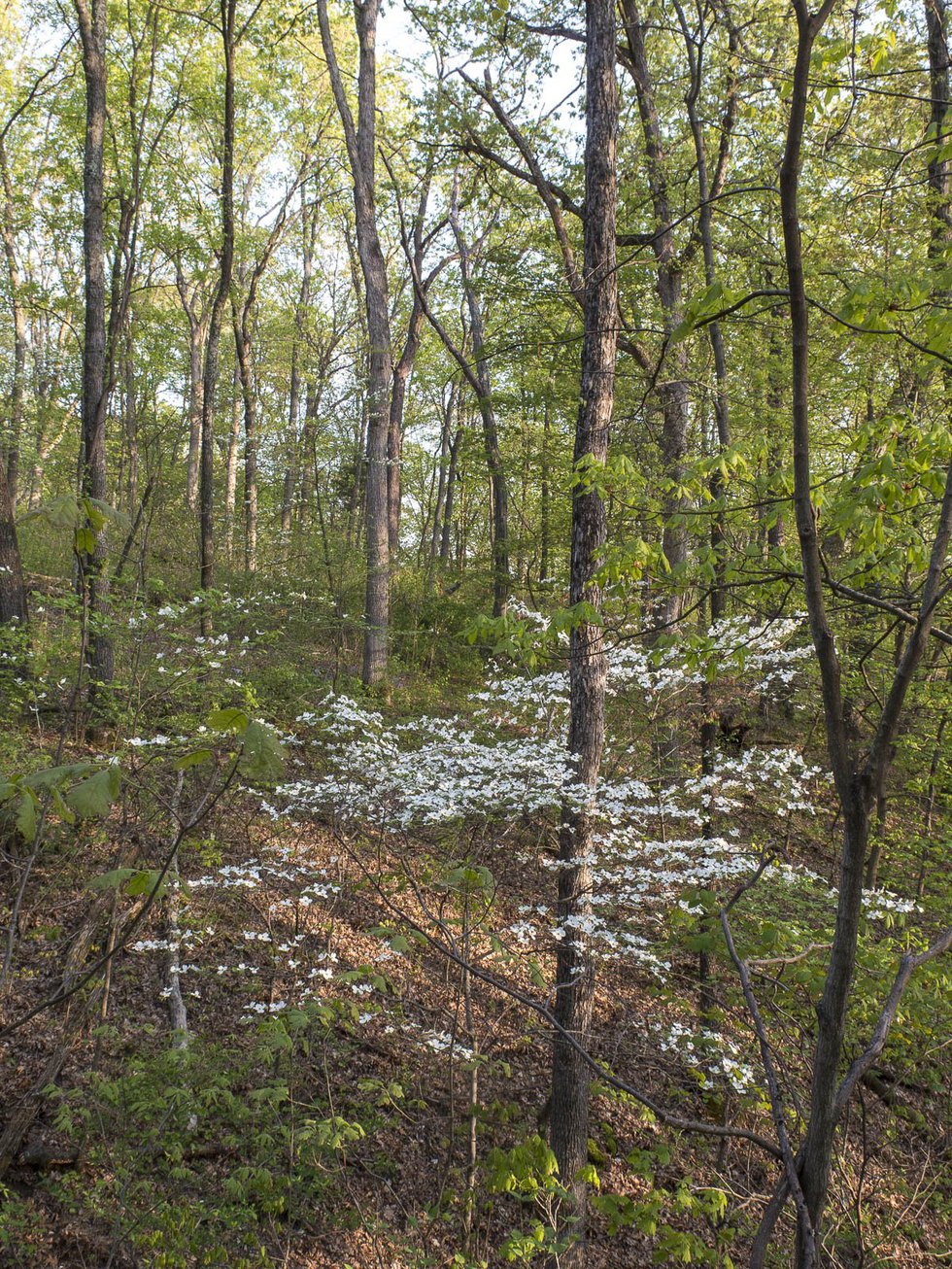
The natural surface and steep hills along this trail make it a popular choice with hikers and a challenging choice for runners. Luckily, dense woods provide shade for this difficult run, whether you choose to take the shorter or longer loop. Zarlenga recommends high-quality trail running shoes and comfortable socks for this one.
Jon Serfas, events and visitor services supervisor at Shaw Nature Reserve, recommends:
Serfas notes that the reserve’s 17 miles of off-road trail can be connected to offer runs of various lengths and difficulties. A few possible paths include:
Visitor’s Center Loop
This run is a convenient one, beginning and ending at the Visitor’s Center for a 1.26 mile loop. Take the first left off of Pinetum Loop to Manor House, and turn around at the Bascom House back steps.
5K Loop
Again, go from the Visitor’s Center to Pinetum Loop, but take a right onto Trail House and go through the pedestrian door at Deer Fence to return to Pinetum and close the loop.
5-Mile Loop
Begin with the same path for the 5K loop, but after going through the pedestrian door at Deer Fence, cross the Brush Creek bridge and take a right onto Lumber Shed. Take a left at the end of the field to West Valley Trail, which turns into Pine Amphitheater. Return to Trail House, turn right at the bus stop onto Quarry, turn right onto Fruend Ridge, and cross over Wetland. Take a left and run the path back from Quarry to the Visitor’s Center.