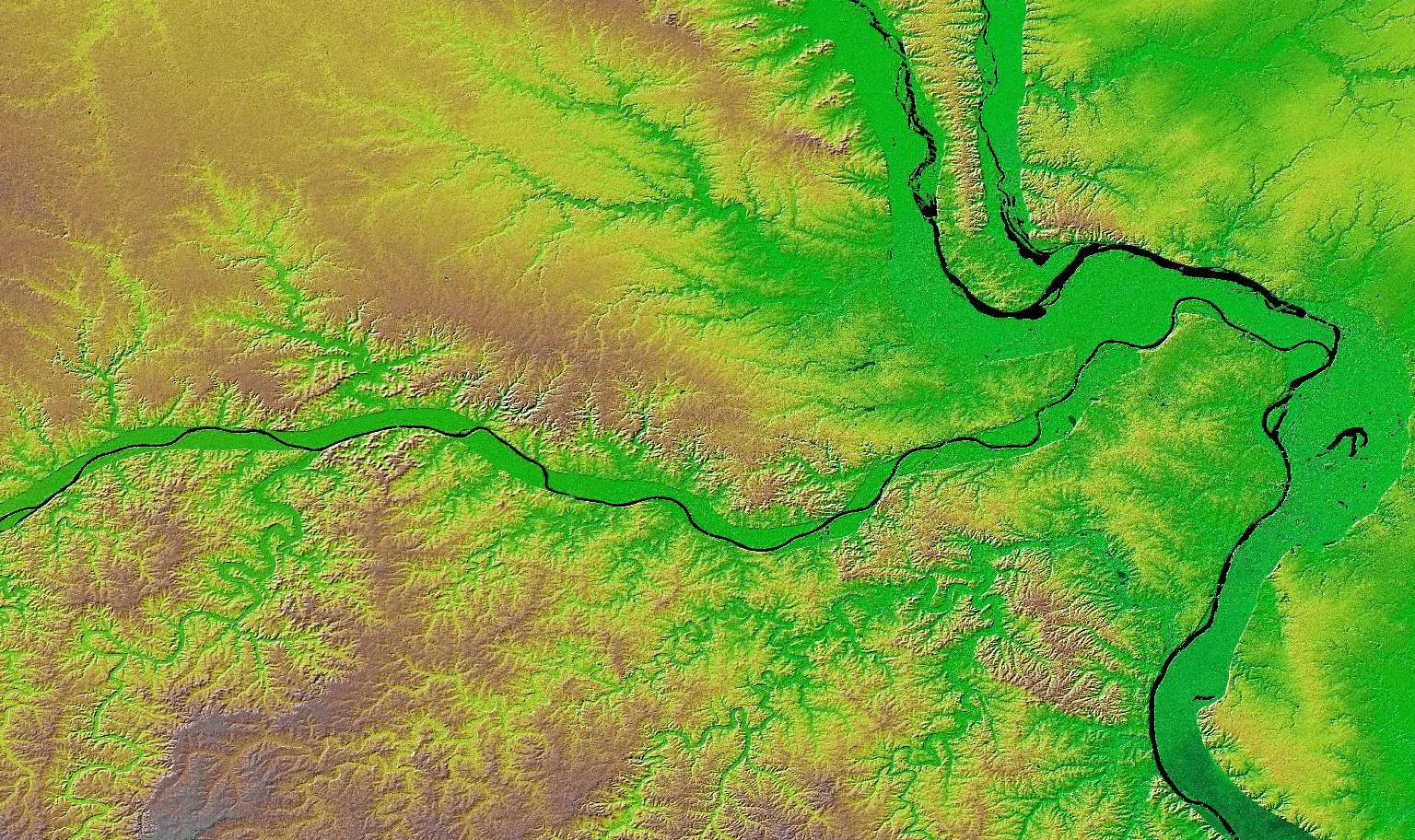
St. Louis’ geospatial scene is getting a close-up this week, as several hundred people from across the globe descend on the region for the two-day SatSummit conference at the Post Building downtown.
But this gathering diverges from many other geospatial industry conferences that have come to St. Louis, which have focused more heavily on how satellites and earth observation imagery can support defense and intelligence applications.
Keep up with local business news and trends
Subscribe to the St. Louis Business newsletter to get the latest insights sent to your inbox every morning.
“This conference is about those satellites being used for things, [like] serving humanitarian groups [or] the public good,” says Jen Marcus, Taylor Geospatial’s vice president of strategic innovation programs.
Those kinds of applications are a more recent development, Marcus says. Governments were previously the only organizations that could afford the billions of dollars it took to build, operate and maintain satellites. But now, it’s much cheaper to launch a satellite and manage the reams of data they collect, which has opened up the sector to more commercial activity, Marcus says.
Marcus explains geospatial operations can offer answers to questions about who’s suffering from food insecurity, where droughts are occurring, and whether conflicts are causing roadblocks in supply chains.
“The kind of information that’s inside satellite images is really important to decision making around aid, support, agricultural practices, climate change, and how we can have sustainable ag and supply chains,” she says.
The roughly 250 people coming for SatSummit span companies that provide satellite and earth imaging data, such as Esri or Planet; humanitarian groups and researchers, like those from WashU, Arizona State University, Oak Ridge National Laboratory, or the World Bank, looking to pull more insights from that data; and even large media organizations, such as The New York Times, Bloomberg, and Reuters.
“It’s the Earth observation community, public and private sector—all of the satellite operators, the infrastructure providers, the analytics groups—alongside what I will call all of the practitioners for good,” says Rhiannan Price, co-founder of Common Space, a nonprofit looking to launch the first humanitarian-focused satellite next year. “So all of the humanitarians, the climate advocates, the human rights defenders, the journalists who are using this data, all for their own really important, valuable use cases.”
One of the topics Price expects to tackle at the conference revolves around censorship and access to imagery, especially given some of the restrictions on accessing images in places like Gaza, Ukraine, and Iran.
“It’s this really problematic trend of censorship and limiting data, where we really need to build trust and to be able to build shared understandings of what’s happening, especially on the ground and in crisis situations and in conflicts,” she says. “Who gets to control who has access to such valuable data? Is it the companies that operate the asset? Is it the governments who are the customers and the regulators of those assets? Does the public have a role because we are the ones being imaged?”
Price says other discussion topics are likely to hit on the future of earth observation infrastructure, given declining investments in public digital infrastructure, as well as specific technical questions about how best to use artificial intelligence and machine learning tools with satellite imagery.
Unlike defense and intelligence-focused conferences, Marcus says SatSummit brings together a mix of people who can explore how to refine business models so that the rich information from satellite data is available for purposes beyond just adding to a bottom line.
“It’s really important to think about the science and the research and the tech and the innovation that’s needed to get those insights out at scale and into the hands of the practitioners,” she says.
Marcus argues this convening occurring in St. Louis will help the region continue to build on the legacy of the National Geospatial-Intelligence Agency’s continued local presence, while also effectively branching out to apply geospatial technology and innovation to other uses, which is a core part of the local nonprofit she’s a part of.
“We’re doing work that hasn’t been done here in St. Louis before, and in order to do that work, we need to attract people that haven’t been working here in St. Louis—users, practitioners, companies, partners,” she says. “That’s why SatSummit is such a culmination of at least one element of our strategy, which is to expand the expertise [and] the research that’s being done here, expand the innovation that’s being done here.”
Price argues SatSummit coming to St. Louis shows the evolution of the region’s geospatial sector, especially since the conference has only previously been hosted in Washington D.C. or Lisbon, Portugal.
“St. Louis is becoming more and more of a geospatial center of gravity, and SatSummit is a good example of that happening in real time,” she says.
And it’s more than just theoretical. Coinciding with this week’s conference is a forum highlighting the progress of the main projects in Taylor Geospatial’s Geospatial Innovation for Food Security, which are developing better ways to use geospatial data for managing nitrogen fertilizer use in agriculture, informing better risk management around food aid delivery in the world, and improving the model that governments and organizations around the world rely on for early warnings of famines.
“Certainly many people who are coming to the GIFS Forum are staying in town for SatSummit. So we’re really looking forward to seeing those conversations cross-pollinate,” says Rachel Opitz, a program manager at Taylor Geospatial who works on sustainable ag and food security. “It’s really wonderful to have these events back to back because they share a focus on work for the public benefit, which is something we really care about at Taylor Geospatial.”
Opitz adds the projects being highlighted this week face similar challenges to the broader community attending SatSummit: Finding the right data on the ground to apply alongside images observed from satellites to make a geospatial-rooted solution something that scales.
Marcus adds that St. Louis’ well-established innovation sectors around agtech and biosciences stand to amplify this week’s conference, as they can provide the experts coming into the region information about what kind of geospatial solution is worth building. Beyond defense and intelligence, she notes the agriculture sector is one of the leading users of geospatial tech.
Looking forward, both Marcus and Price expect this conference to pay dividends for St. Louis in terms of laying the groundwork for future collaborations with leading companies and organizations coming into town, such as the Allen Institute for Artificial Intelligence, Nvidia, or NASA.
“You can do a year’s worth of meetings in three days if you bring people into one space,” Marcus says. “For us, it’s an opportunity to codify some of those relationships and some of those partnerships. [That] is the first part. Doing the work that we define in those partnerships is what you’ll see coming out in steady drum beats over the next few months and years.”SatSummit brings a different side of the geospatial innovation sector to St. Louis this week