Two St. Louis organizations leading the way to develop the local geospatial landscape have consolidated into a single entity with a mission to accelerate the development and real-world application of geospatial artificial intelligence.
The announcement Thursday morning folds the resources of the Taylor Geospatial Institute and Taylor Geospatial Engine into a single nonprofit, now known as Taylor Geospatial. Both organizations were originally launched with a philanthropic gift from Enterprise Mobility’s executive chairman Andy Taylor.
Keep up with local business news and trends
Subscribe to the St. Louis Business newsletter to get the latest insights sent to your inbox every morning.
“This new organization brings strategic focus to a fast-moving field at exactly the right time,” says Robert Cardillo, Taylor Geospatial’s chair. “Taylor Geospatial will be a trusted bridge—aligning research with operational needs and converting GeoAI innovation into reliable, scalable capabilities.”
The former director of the National Geospatial-Intelligence Agency adds that a single organization will help to drive measurable impact moving forward.
Founded in 2022, the Taylor Geospatial Institute was housed at Saint Louis University as a “cross campus research institute” designed to fuel research, collaboration, and innovation around geospatial technology, says Elliott Kellner, president of Taylor Geospatial. The engine spun up one-and-a-half years later to commercialize the technologies coming out of the institute, which eventually itself became a standalone nonprofit last year.
“We’re conceptualizing what that next frontier looks like for the geospatial industry, [and] we see GeoAI as being that next big thing,” Kellner says. “As a single, consolidated organization we have the opportunity to better achieve that and do so in a way that better supports the St. Louis community.”
A single nonprofit brings “operational efficiencies” with a consolidated and expanded staff, he says, but also the opportunity to refine the strategic direction of both organizations, creating a “durable research pipeline” inside a single organization capable of taking an initial idea all the way to market for end users.
“It was an opportunity for us to refocus a little bit based on all the changes that have occurred, both technologically, in the geospatial industry market, but also regionally,” Kellner says.
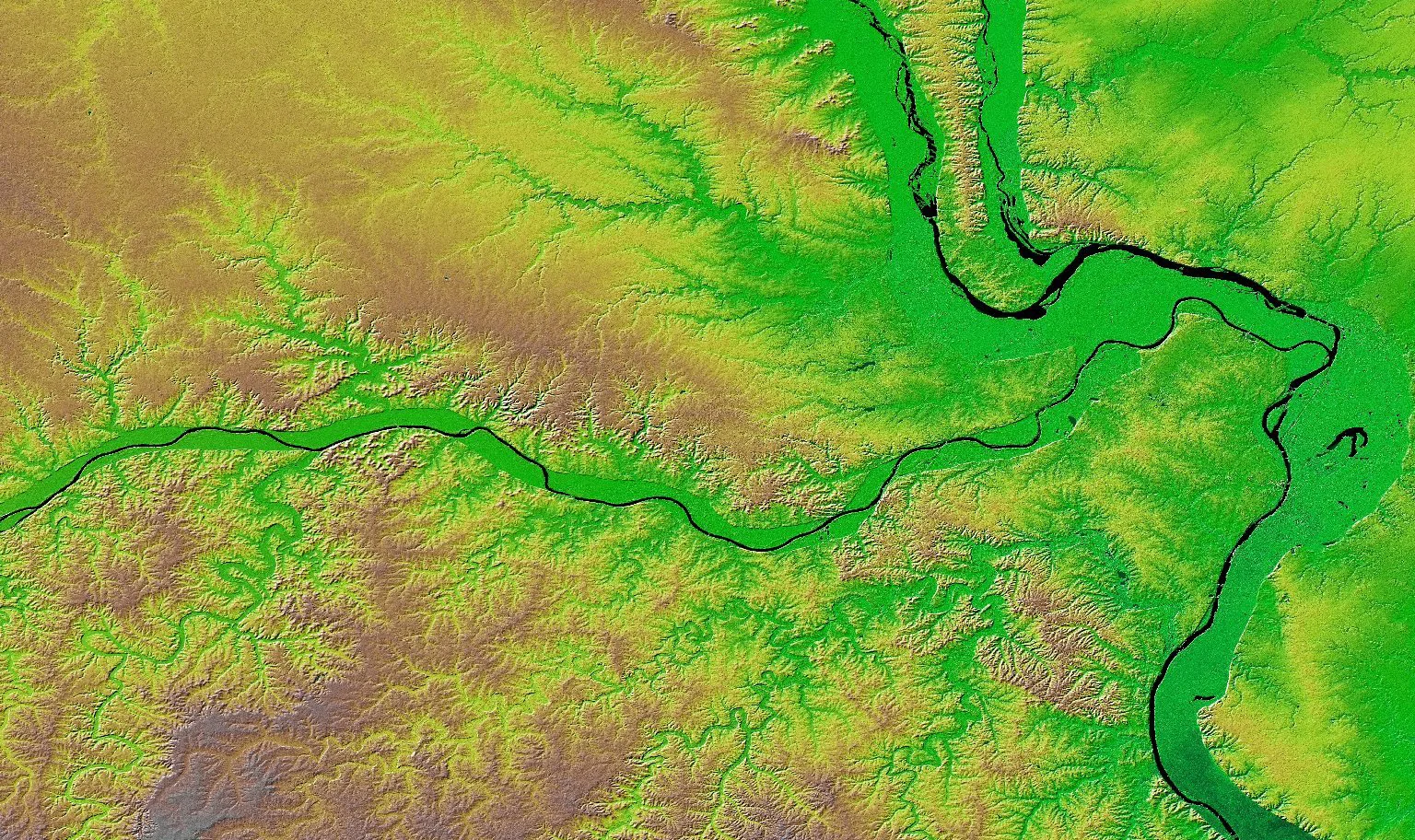
The core focus on the developing and applying geospatial artificial intelligence is not foreign to Taylor Geospatial, he adds. Its existing initiatives already look to leverage AI and Machine Learning to bridge the persistent gap between actionable insights and the raw data captured by satellite imagery and other geospatial intelligence. The nonprofit sees its work applying in the agricultural, defense and security, disaster relief and regional natural resource management sectors.
More than anything, Kellner says Taylor Geospatial intends to deliver broad access to GeoAI with a commitment to “open source, open science technologies.”
“It means that you can actually build things on top of it. You can plug that routine, take that algorithm, take that model component, and build something on top of it,” he says. “We’re a nonprofit, and we’re trying to advance science and technology in a way that the maximum number of users can benefit from. We don’t achieve that by locking it up behind a paywall.”
Kellner argues it will create tangible, technical assets that will then draw in researchers, startups, and even larger companies to the St. Louis region. Having readily accessible GeoAI tools that new or existing companies build products with can serve as a critical way to recruit more entities to the region, in addition to the established innovation scene that’s already here, he says.
“Most of those innovators and entrepreneurs and startup founders need capital efficient ways to develop and scale their technologies as quickly as possible,” Kellner says. “When we provide these sort of open source components, models, and workflows, it contributes to the ultimate business models of those innovators.”
He adds it’s a critical moment for St. Louis, as the geospatial sector continues to struggle with bottlenecks in analyzing the information available in existing satellite imagery and other mapping data.
“There’s a greater need for an organization like ours than there has ever been,” Kellner says.