For the past five years, Trailnet’s annual Crash Report has documented the dangers that pedestrians and cyclists face on St. Louis streets. Beginning in the city in 2020 and expanding to include St. Louis County in 2021, the annual report identifies dangerous corridors and documents trends in injuries and deaths.
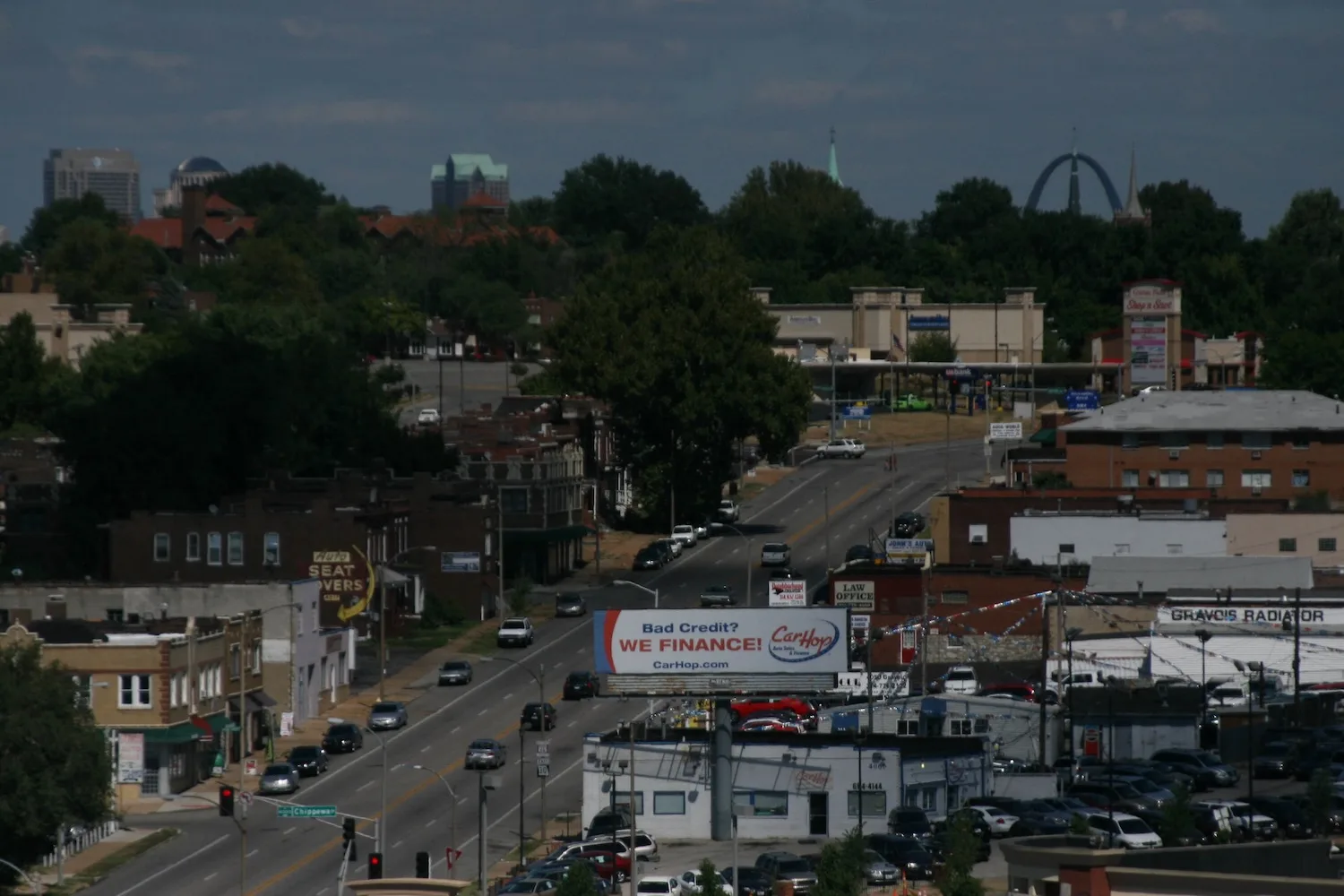
The 2025 report, which is out this morning, still does both those things. To get to the part you’re probably most curious about, the most dangerous corridors for pedestrians and cyclists in 2025 were Gravois Avenue in the city (followed by Grand) and Lindbergh Boulevard in the county (followed by Chambers Road).
Get a fresh take on the day’s top news
Subscribe to the St. Louis Daily newsletter for a smart, succinct guide to local news from award-winning journalists Sarah Fenske and Ryan Krull.
But it also takes a more expansive view. Now titled “The State of Our Streets,” the report doesn’t just sound the alarm but also details what’s changing as local governments get serious about infrastructure changes to slow drivers and give other people on the road a chance. That’s not just in the City of St. Louis, where Trailnet details $46 million in traffic-calming projects paid for with American Rescue Plan Act dollars, but across the region, thanks to new strategies at MoDOT.
The state agency has long been responsible for major routes through both city and city. In 2024, says Trailnet CEO Cindy Mense, it issued a “Blueprint for Arterials” that includes guidance on protected crossings and traffic calming measures—a sea change for how major streets are engineered in the region. That’s one reason Trailnet has shifted from detailing the carnage to contextualizing improvements. “We’re excited to see the progress,” says Mense.
Among the high points for 2025, according to the report:
- 95 projects in St. Louis County that included bicycle or pedestrian improvements received federal funding.
- 30 miles of high-crash arterials in the city saw construction on ARPA-funded calming projects.
- 5 miles of bike lanes, protected cycle tracks, and greenway connections came online in the city.
For every step forward, there’s often a step back. MoDOT ripped out traffic-calming bumpouts on Clarkson Road in Chesterfield after residents complained. A roundabout planned for South County’s Oakville area was scrapped in the face of local opposition. In the city, more recently, some bumpouts were removed in a key block downtown ater they increased congestion after a Cardinals game.
Mense says situations like the one on Clarkson Road show the importance of educating motorists. “One of the things that we’re really focused on is helping folks change the way they think about streets,” she says, adding, “Transportation is a system, and the system has been failing the vulnerable road users.”
Also on the downside: Crashes involving cyclists increased in the city. While there were fewer pedestrian deaths and injuries, the report says, “2025 saw a notable increase in cyclist-involved crashes, with three cyclists losing their lives last year.” That’s after two straight years with no cyclist crash fatalities.
In the county, while pedestrian fatalities dropped, cyclist fatalities went from zero in 2024 to two in 2025. Pedestrian-involved crashes and injuries both increased.
Mense is hopeful that, in time, the new traffic-calming infrastructure coming online in 2025 and 2026 will help bring those numbers down. She says, “Maybe that one bumpout is annoying to you, but that, in conjunction with a no-right-on-red signal, combined with a lower speed limit, they all work. They work together to slow folks down, and to make the vulnerable road user, whether they’re a person on foot, person bicycling, or person in a wheelchair, more visible when you slow down. I hope that folks, when they see their streets changing, they see that we’re trying to make it safer for everyone.”
As the report notes, one area where that progress is visible is in bike infrastructure. The city and county now have a combined 724 miles of bike-friendly infrastructure, 155 of them alongside streets (versus off-street paths and trails). That number has been steadily increasingly—although, Trailnet notes, often without enough protection for cyclists.
“Shared lane pavement markings and signage alone are not typically considered true bicycle facilities and are not sufficient to create a low-stress bike facility on higher-speed or higher-volume roads,” the authors write. “These markings do indicate a growing desire for safe biking facilities, supporting future progress for higher quality, protective infrastructure like cycletracks, bike boulevards, and off-street facilities.”