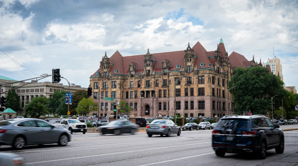
There’s been a flood of talk about the Better Together proposal, and at its heart is the question of whether to repeal the Great Divorce: St. Louis City’s withdrawal from the County. Ostensibly, back in 1876, the leaders of St. Louis believed they would have more than enough room to grow out to the borders set then and still have a viable tax and population base. As we know now, it didn’t work out that way: St. Louis County currently has just under 1 million residents to the City’s approximate 300,000. Also, as residents of counties outside of those two places are quick to remind us, the majority of people in the St. Louis Metropolitan Region do not live in either St. Louis City or County, but in other outlying counties such as St. Charles or Jefferson counties. And last year, I argued that the small geographic size of St. Louis City was a poor excuse: Cities such as San Francisco and Boston are smaller geographically and are doing better than St. Louis in the vast majority of metrics. But I digress from my point:
Based on what St. Louis leaders knew in 1876, divorcing themselves from St. Louis County did have a certain logic at the time.
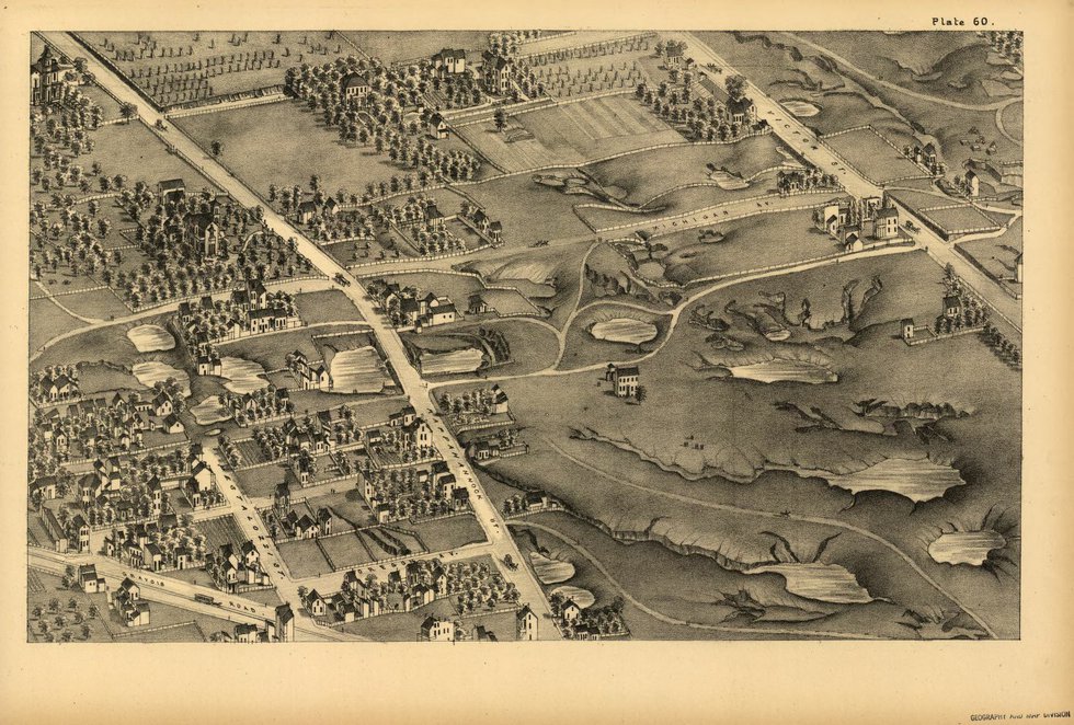
First, we should address the question of the city’s geographic size constricting population growth. Looking to David Rumsey’s amazing composite image of Compton and Dry’s 1876 Pictorial St. Louis, we notice something shocking about how far the city had grown by that year. Despite the city exploding to 310,864 in 1870 and on its way to 350,518 in 1880, urbanization had barely filled in the countryside inside Jefferson. The area between Jefferson and Grand was still largely rural, with the exception of Midtown, and much of the Tower Grove area would not be developed until the early 20th century. Just think: In 1880, it would have taken maybe half an hour for a pedestrian to walk from the riverfront to the countryside surrounding a St. Louis of 350,000 people.
I am under no illusion that the housing conditions of some of the densely settled neighborhoods at the core of the city, particularly just north of downtown in areas such as Kerry Patch, were acceptable by today’s standards. But as last century’s reformers demonstrated, housing codes—consistently enforced and backed up by ethical politicians—can improve such living conditions. A St. Louis leader in 1876 would have seen the 62 square miles spreading out before him as a seemingly unlimited amount of land on which to fit at least another million or more people, should the city continue to be built at the same level of density. Also remember that some parts of southwestern St. Louis were not developed until the 1940s, and the City showed it could fit 856,796 people in 1950, though admittedly with many neighborhoods uncomfortably crowded. And that was before dozens of new highrises were built.
Today, we could fit a lot more people back into the city if we could just convince them it’s a desirable place to live.
Another problem with the city’s small geographic size has been the loss of industry. When the Big Three automakers built their huge new plants after World War II, they chose Fenton, Hazelwood and Wentzville because they had huge swaths of flat, open land. St. Louis quite simply did not have the land available for new, supersized automobile plants. But to return to the perspective of St. Louis leaders in 1876, when industry could build multistory factories on relatively small footprints, such sprawling one-story assembly plants were inconceivable. Likewise, civic leaders could not have predicted the deindustrialization of the Midwest. Despite many historical accounts stating that St. Louis lost out economically to Chicago during the Civil War, my research has shown that many historic Gateway City companies’ productivity exploded during the war. Take for example, the Lemp Brewery: Despite the turmoil of the war in St. Louis, the value of the plant William J. Lemp Sr. took over from his father, Adam, in 1862—right in the middle of the Civil War—increased approximately tenfold from 1860 to 1870. How could any city leader have predicted the Rust Belt while they were looking at balance sheets like that?
Finally, there’s the purported motive of city leaders eager to avoid the costs of funding St. Louis County’s infrastructure. Much attention is paid to the City’s crumbling bridges and streets, and justifiably so. Looking at the plans for replacing bridges over the railroad tracks that snake through the center of St. Louis City, I find it deeply disturbing that some are not budgeted for replacement for another five years or more. That said, a glimpse of the St. Louis County budget for 2019 is enough to keep even the soundest sleeper awake at night. For roads alone, the County’s list of capital expenses over the next five years adds up to more than $200 million dollars. Many public works projects were built quickly during the booming years of suburbanization in the 1950s and ’60s, and the deadline for their obsolescence has officially arrived. The cost of replacement will be high—especially for a county with a shrinking tax base and a declining population.
Maybe it’s the other way around: Maybe, as city leaders predicted in 1876, St. Louis City doesn’t want to get back together with St. Louis County.