Visitors to Art Along the Rivers at the Saint Louis Art Museum couldn’t miss Jennifer Colten’s photographs. The three large images formed a triptych in the show’s final gallery, drawing viewers closer to examine her Significant & Insignificant Mounds.
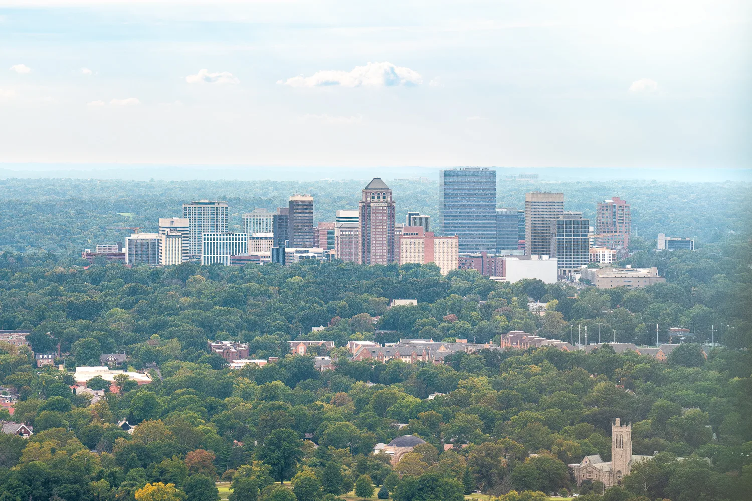
Even harder to miss than those, however, is the series of billboards featuring the mounds that have sprung up across the American Bottom, the region stretching from the Metro East to the Kaskaskia River about 40 miles southwest of St. Louis. The studies of mounds both industrial and Indigenous are part of an ongoing project between Colten and writer Jesse Vogler, in which the pair takes burial mounds, slag heaps, and landfills and places them in conversation with one another, exploring the divided landscape of the region through images and experimental text.
Stay up-to-date with the local arts scene
Subscribe to the weekly St. Louis Arts+Culture newsletter to discover must-attend art exhibits, performances, festivals, and more.
“It’s a really interesting region that encompasses all kinds of conditions, from wetlands to industrial [areas] to Native American mounds,” says Colten. “We’ve done this as a way to work with communities and reflect upon this interesting and complicated and layered landscape.”
Over the past few months, a series of six billboards have appeared in various locations, including by the Martin Luther King Bridge and in Fairmont City, near the Cahokia Mounds State Historic Site. The final billboard is on display through January 23.
Two of the billboards, labeled “Possession” and “Dispossession,” caused a bit of a stir when they first appeared: Locals concerned that they might be government messaging about upcoming housing takeovers reached out to the Fairmont City clerk, who then got in contact with Colten about the work. It led to one of the more rewarding discussions that Colten has had about the project.
“He understood completely,” recalls Colten. “I think he was relieved and felt he could communicate to the residents.” They even held a community meeting at the local library to answer people’s questions directly.
“This is what this is all about: raising questions and provocation,” she says. “I don’t want to hurt anybody and certainly don’t want to alienate anybody’s sense of belonging, but to raise the questions is important.”
Bottom’s Up
Charting the American Bottom puts a diverse region in the spotlight.
The work of Colten and her collaborators goes beyond photographs and billboards. Colten is also the photographer for Charting the American Bottom, a project directed by Jesse Vogler and Matthew Fluharty, which charts the region and creates itineraries for exploring its diverse natural and historic features.
The American Bottom is full of overlap. The project describes the region as “a territory where the Cahokia Mounds UNESCO heritage site abuts a Superfund site, where French Colonial settlement patterns shape 20th century urban forms, where the first incorporated African-American town in the U.S. abuts the site of this country’s most notorious race riot.”
To help tell its stories, the creators produced The American Bottom Gazette, a publication, and placed exhibitions in galleries and municipal spaces across the region it serves. More information on the project, as well as its products, can be found here.