
Archaeologist Tom Finan, an associate professor of history at Saint Louis University, spends his summers in Ireland’s County Roscommon, hanging out with cows. Their pasture was once home to a medieval settlement that Finan refers to as a “moated site.” In the past, his investigation would have begun with weeks of surveying in search of slight variations in elevation that signal where artifacts lie beneath the soil. But with the use of a drone, an Irish surveying company was able to create a 3-D topographical model of the area for Finan in a matter of minutes. “It’s absolutely bonkers crazy,” he says. Here’s how it works.
1. The Site
Get a fresh take on the day’s top news
Subscribe to the St. Louis Daily newsletter for a smart, succinct guide to local news from award-winning journalists Sarah Fenske and Ryan Krull.
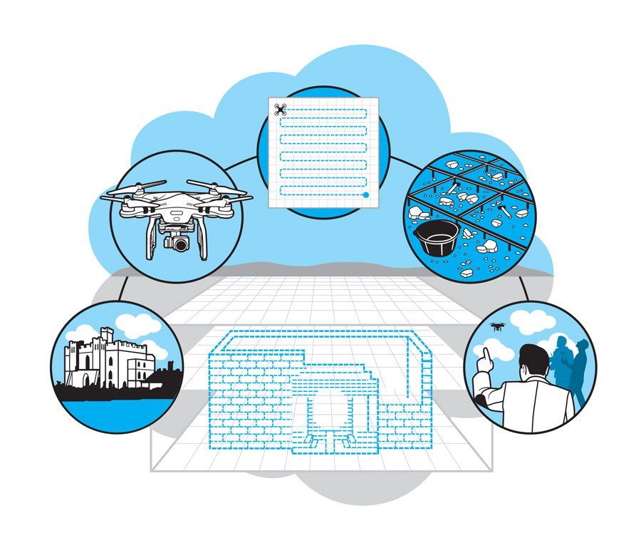
Next to the field where Finan does his research is a lake, and in the middle of the lake is an island. On that island is a castle, the Rock of Lough Key. Finan believes that the same 13th-century Gaelic lord owned the castle and the land that he’s investigating.
2. The Drone
Here in the U.S., Finan flies a custom drone, built with the use of open-source technology from a company called 3D Robotics. In Ireland, where regulations prevent Finan from piloting a drone, the work is done by Paul Naessens of Western Aerial Survey, who flies a DJI Phantom.
Finan’s American drone is a quadcopter, meaning that it has four motors and four spinning rotors. Lithium polymer batteries provide the power. The drone is outfitted with a computer board, a radio that connects it to the ground computer, and GPS. A GoPro camera is attached to the drone on a gimbal; the camera can be moved independently of the drone’s steering.
3. The Process
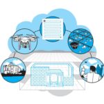
First, Finan uses Google Earth to plot a flight path. The drone flies on autopilot, controlled from a tablet on the ground. A radio controller acts as a failsafe. The drone moves back and forth across the field, like a lawnmower, taking photos. When it’s finished, photogrammetry software stitches the images together into a 3-D model. Finan studies it for minute changes in topography—little bumps, imperceptible to someone walking through the field, that signal the former locations of walls, ditches, buildings.
4. Expanded Applications
By attaching sensors to the drone, Finan can gather more data. With the use of infrared technology, he could look for areas rich in phosphorus, a clue that people lived there in the past. Finan hopes to begin excavation at the site soon, and he thinks the drone can help with that, too: Aerial photos could be used to document what researchers find as they dig.
5. Safety First
Finan flies his drone with a team. One person, the pilot, is responsible for monitoring and controlling the drone itself. A second acts as ground control, making sure that no one wanders beneath the copter. A third runs the tablet, ensuring that all systems are go. Finan worries that irresponsible hobbyists who fly drones where they don’t belong will ruin the fun for everyone. “There is great potential,” he says, “but the problem is balancing that with certain controls.”