Andrew W. Hahn’s new book, Mapping Missouri, is a sequel to Mapping St. Louis, which he wrote for Reedy Press and debuted two years ago. The first book told the history of the Gateway City in 40 maps. In this new book, Hahn set out with a harder task: telling the story of an entire state in the same number of maps.
For Hahn, it was a challenge not only to compress hundreds of years of history into 40 maps and 164 pages, but also to get up to speed on the Show-Me State’s complicated history. “I didn’t know as much about Missouri as St. Louis,” says Hahn, who by day is executive director of the Campbell House Museum in downtown St. Louis. “So I learned a lot, and actually, in some ways, had more fun doing this book.”
Stay up-to-date with the local arts scene
Subscribe to the weekly St. Louis Arts+Culture newsletter to discover must-attend art exhibits, performances, festivals, and more.
The book follows the state from prehistoric times (using a 1904 geological map) to the present, with newer maps showing the current Gateway Arch National Park, the 2020 Census, and the state’s parks and historic sites. It’s history, but it’s also current events: The second to last chapter, which focuses on a 2021 map showing tornadic activity, had to be updated to incorporate the 2025 tornado that ripped through St. Louis even as Hahn was writing the book. By showing tornado paths through the state from 1950 to 2021, the map makes clear that the deadly 2025 cyclone was not an anomaly, but rather fit into a terrifying pattern.
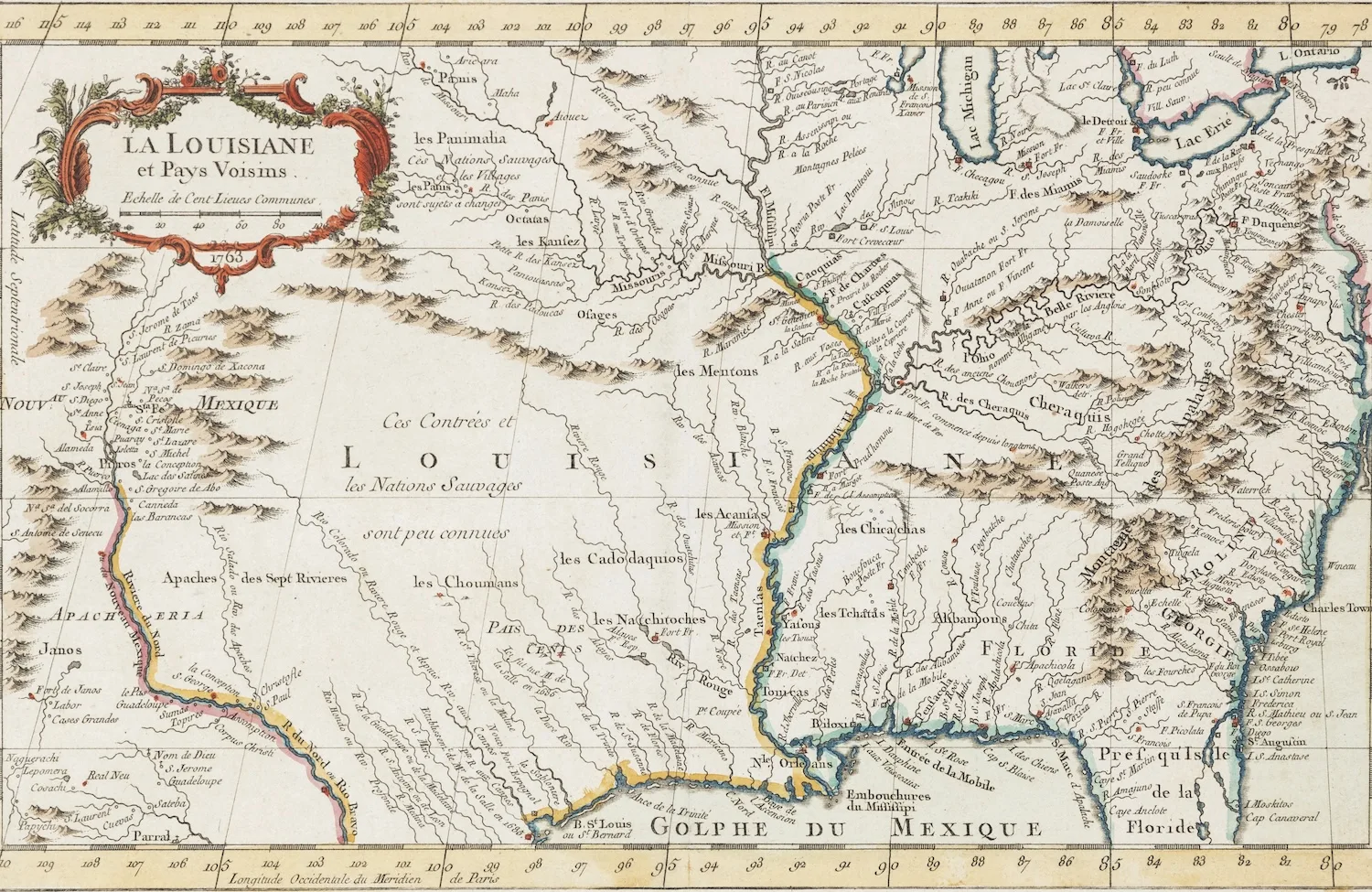
Far more often, however, the maps reflect not the natural world, but the order that people have sought to impose upon it. The maps show Missouri’s tribal lands and then the state as explored by Jesuits in 1672, as ruled by France and then Spain, and then finally as part of the nascent United States of America.
“At the most basic level, maps are wayfinding tools,” Hahn observes. “But in terms of history, maps tend to be political because they tell the story of how people move and how governments change over time, and I think that’s apparent in these maps, especially the older ones.”
The book does not include a congressional map. The controversy that consumed Missouri throughout much of the past year, one triggered by Republicans’ decision to redraw congressional maps to give their party an additional seat, was still unfolding when Mapping Missouri went to press.
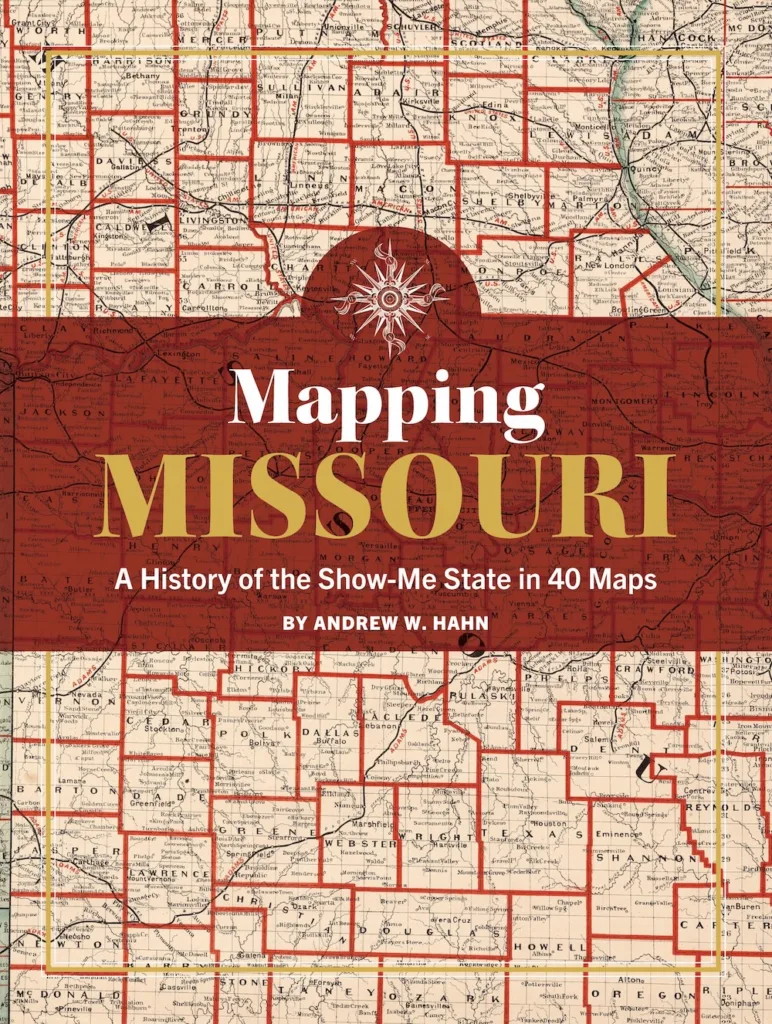
But Hahn acknowledges that he found himself thinking about a different political question—whether to merge or consolidate local governments—as he dug into the maps that form the basis of the book. He found himself thinking a lot about the map that ended up serving as the book’s cover, which was created by cartographer George F. Cram in 1878 as a railroad and township map of the state. It shows the state’s 114 counties, which Hahn was fascinated to learn is in fact far more counties than most states have. “It just speaks to what an interesting patchwork of places this is,” he says, adding, “Only Texas and Georgia have more counties than Missouri.”
In some ways, all those counties made sense back in the day. In the 1830s, when Missouri was settled, Hahn notes, getting around was much harder. He explains, “The counties couldn’t be real big because you needed to be able to access your county courthouse and things like that, and you couldn’t go 100 miles to do that.”
These days, of course, it’s not hard to drive wherever you need to be, and as some counties have shrunk down to fewer than 2,000 souls, you can’t help but wonder whether some sort of Better Together movement should be formed for rural Missouri. “I think that would create a lot of efficiencies, like we’re talking about in St. Louis County and St. Louis City,” Hahn says. “But is the king going to give up their kingdom?”
Mapping St. Louis was Hahn’s authorial debut—and a hit for local Reedy Press. It’s now in its fourth print run, and publisher Josh Stevens says Reedy Press is launching a series of similarly formatted books looking at other cities (Boston, Charlotte, and Philadelphia are now available on its website, with a half-dozen more cities to follow next year). Hahn is hopeful Mapping Missouri will find a big audience—but he credits not his own prose or the insight he brings to local history, but the maps themselves.
“I’ve gone all over and done talks and book signings, and I find that maps kind of sell themselves,” he says. “They have a power that really attracts people.”